The Middle Ages otherwise known as the Mediaeval Period saw agriculture remain the key activity in the area.
The climate of Wales deteriorated from about 1300 AD with the onset of wetter conditions followed by the ‘Little Ice Age’ from about 1550 AD to 1850 AD.
The colder winters of this period probably curtailed all year round grazing, the summer use of the upland moorland probably continued.
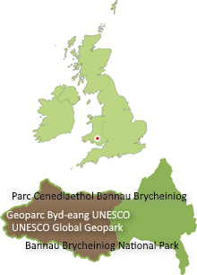
The Geopark falls across the boundary between two early mediaeval Welsh kingdoms – those of Deheubarth (literally ‘south part’), west of the Afon Twrch and Brycheiniog to the east. The Statute of Rhuddlan in 1284 divided Deheubarth into the historic counties of Pembrokeshire, Cerdigion and Carmarthenshire, the last of which forms the western part of the Geopark.


